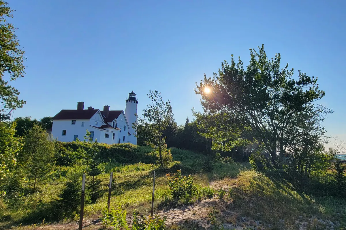
The white brick Point Iroquois lighthouse and keeper's house seen across the dunes at sunset

Michigan Upper Peninsula · 3 stops · 104 mi

Castle Rock to Whitefish Point: Upper Peninsula Road Trip Stops

3 stops · 104 miles · about 2 hr 27 min of driving

Open this route in Google Maps3 stops in order · 104 mi · free, no sign-up

Road essentials

Quick grabs for the drive. Open the listing, or add it straight to your Amazon cart.

Amazon (paid link): we earn a small commission if you buy, at no extra cost to you. Disclosure.

Gear for this drive

Amazon links are paid affiliate links: as an Amazon Associate we earn from qualifying purchases at no extra cost to you. Disclosure.
Take the map with you

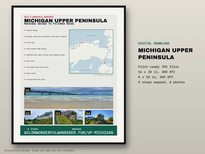
Printable route poster: Michigan Upper Peninsula — Mackinac Bridge to Pictured Rocks
Route poster: Michigan Upper Peninsula — Mackinac Bridge to Pictured RocksDigital download, 9 stops on one map. Nothing is shipped. Get the poster — $12

Next route

Optional. Free, no spam. Privacy

Route map: Castle Rock to Point Iroquois to Whitefish Point, 104 miles

Road distance and drive time are a routing estimate (OSRM) with no traffic and no stops.

Save this route

The three stops from our co-pilot reel, in driving order north from St. Ignace. Facts and visitor notes come from official sources (linked under each stop). The photos are ours. Mileage and drive time are a routing estimate without traffic or stops. Several of these stops are seasonal, so read the note below before you go.
Seasonal stops: check hours before you drive

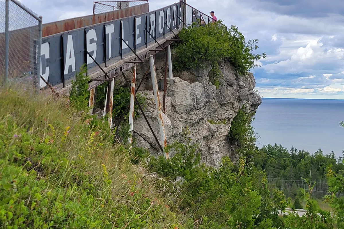
  1. Castle Rock, St. Ignace

    The Castle Rock sign on the rock tower above the Straits of Mackinac

    Our photo.

    Verified facts

    Visitor notes (official sources)

    • After crossing the Mackinac Bridge, take I-75 north about 4 miles to Exit 348; the Castle Rock parking lot is directly off the exit. Source: castlerockmi.com ↗
    Open in Maps
  2. 56 mi · 1 hr 10 min from stop 1

    Point Iroquois Light Station

    The white brick Point Iroquois lighthouse and keeper's house seen across the dunes at sunset

    Our photo.

    Verified facts

    • The first lighthouse here operated until 1870, when the wooden building was torn down and replaced with the brick tower that still stands today Source: fs.usda.gov ↗
    • Of the five lighthouses in Hiawatha National Forest, Point Iroquois is by far the most visited, drawing up to 50,000 people every year Source: fs.usda.gov ↗
    • The point was named by the Anishinaabe people, who repelled an invading Iroquois war party there in 1662 Source: fs.usda.gov ↗

    Visitor notes (official sources)

    Open in Maps
  3. 48 mi · 1 hr 17 min from stop 2

    Whitefish Point Light Station

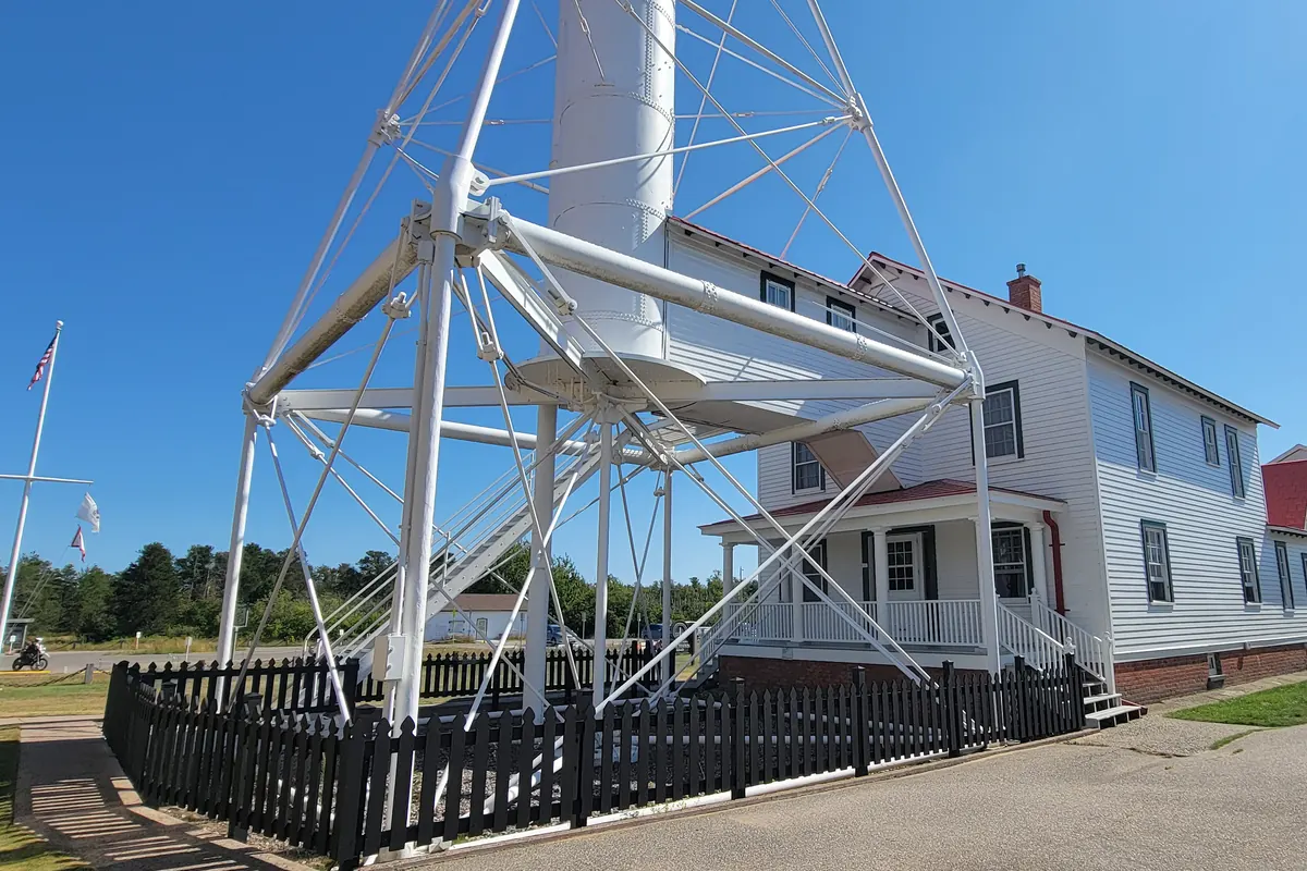
    The steel skeleton tower and white keeper's house at Whitefish Point Light Station

    Our photo.

    Verified facts

    Visitor notes (official sources)

    Open in Maps

Free RV Build + Gear Guide

The real numbers from our Ford E-450 build: solar, battery bank, cost sheet and every part, linked. Enter your email and it opens right away.

Free. No spam. Privacy

See the full build sheet

The full route

This is 3 stops from a longer drive. Every stop, the free overnight spots and a printable map are on the full guide.

Michigan Upper Peninsula: the full 9-stop route

Building your own rig?

The real numbers from our Ford E-450 build.

Free RV Build + Gear Guide The RV Kit — $27 · 11 printable pages