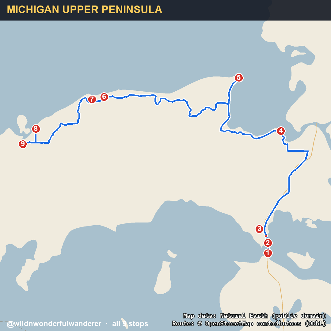
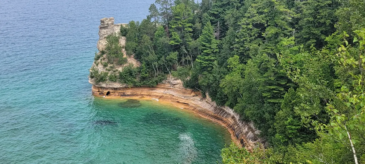
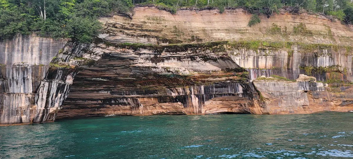
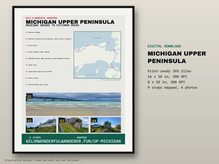
Mackinac Bridge to Pictured Rocks · 9 stops · about 247 miles by road
The route we drove through Michigan's Upper Peninsula, in the order you would drive it coming in over the Mackinac Bridge from the Lower Peninsula. The photos are ours. The facts and visitor notes under each stop come from official sources (linked), last checked 2026-09-25 to 2026-10-08. The map line is the road route between the nine pins (about 247 miles). Hours, fees, ferries and cruise times change, so confirm before you go.
Pictured Rocks: fees and camping
Applies to stops 6 to 9. Official park rules.
Pictured Rocks charges an entrance fee: a private vehicle pass is $25 and covers all passengers for seven consecutive days. Source: nps.gov ↗
All Pictured Rocks campsites require reservations on Recreation.gov, up to 6 months ahead. Drive-in sites cost $25 per night. Source: nps.gov ↗
Drive-in campgrounds are open May 15 through October 15, and the campsites have no hookups. Source: nps.gov ↗
Twelvemile Beach and Hurricane River campgrounds recommend single vehicles of no more than 36 feet and vehicle-trailer combinations of no more than 42 feet. Source: nps.gov ↗
Camping outside designated campgrounds is not allowed in Pictured Rocks, including beach camping and dispersed camping. Source: nps.gov ↗
Straits of Mackinac
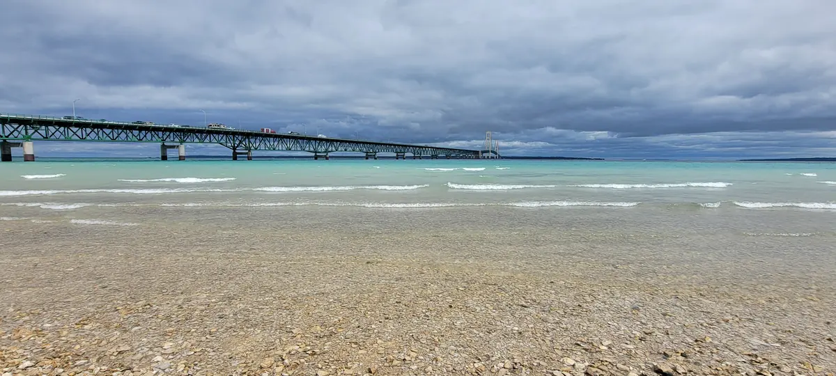
1 Mackinac Bridge
The way into the Upper Peninsula from the Lower: a suspension bridge 26,372 feet long.
The Mackinac Bridge speed limit is 45 mph, with no U-turns and no stopping on the bridge. Source: mackinacbridge.org ↗
In sustained winds of 20-35 mph, RVs should go no faster than 20 mph; at 35-50 mph, high-profile vehicles must wait for an escort. Source: mackinacbridge.org ↗
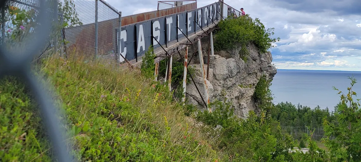
After crossing the Mackinac Bridge, take I-75 north about 4 miles to Exit 348; the Castle Rock parking lot is directly off the exit. Source: castlerockmi.com ↗
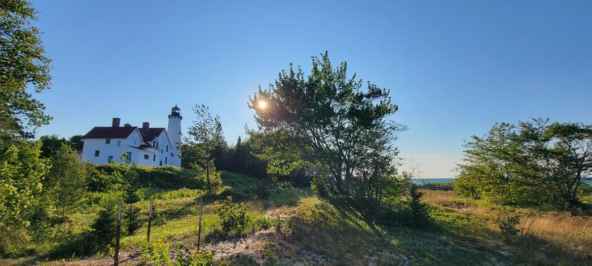
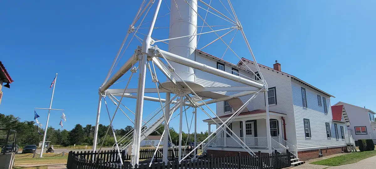
A brick lighthouse on Lake Superior's Whitefish Bay, on a point named for a war party repelled in 1662.
Point Iroquois Light Station. Our photo.
Verified facts
The point was named by the Anishinaabe people, who repelled an invading Iroquois war party there in 1662 Source: fs.usda.gov ↗
The first lighthouse here operated until 1870, when the wooden building was torn down and replaced with the brick tower that still stands today Source: fs.usda.gov ↗
The light guided ships until 1963, when the Coast Guard deactivated it after an automated light off Ontario made it unnecessary Source: fs.usda.gov ↗
A 2022 restoration project restored the 65-foot brick tower to its original glory Source: fs.usda.gov ↗
Of the five lighthouses in Hiawatha National Forest, Point Iroquois is by far the most visited, drawing up to 50,000 people every year Source: fs.usda.gov ↗
Visitor notes (official sources)
Point Iroquois Light Station is open seasonally from late May through mid-October, with free admission. Source: destinationbaymills.com ↗
Visitors can climb 72 steps to the top of the 1870 lighthouse tower for views of Lake Superior and Whitefish Bay. Source: destinationbaymills.com ↗
The Point Iroquois boardwalk and sidewalk form a 0.2 mile loop along the beach, with benches at several rest stops. Source: recreation.gov ↗
Museum admission is listed as $15 for adults and $11 for children 17 and under. Children 5 and under are free. Source: shipwreckmuseum.com ↗
From Paradise, Whitefish Point Road runs 11 miles north to the light station, and the access roads are described as well paved. Source: shipwreckmuseum.com ↗
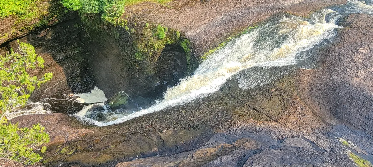
A 75-foot waterfall; the trail is about a quarter mile, with 168 steps to the bottom.
Sable Falls, looking down the chute. Our photo.
Verified facts
Sable Falls tumbles 75 feet over a cascading slope of Munising and Jacobsville sandstone formations. Source: nps.gov ↗
Sable Falls is located about 1 mile west of Grand Marais on Alger County Road H-58. Source: nps.gov ↗
The trail from the parking lot to the beach is only about 1/4 mile long, but there are 168 steps to the bottom of the falls and a few more steps along the remaining path to the beach. Source: nps.gov ↗
The Jacobsville sandstone at the bottom of Sable Falls is estimated to be at least one billion years old. Source: nps.gov ↗
Visitor notes (official sources)
Sable Falls is one of the few park sites with a larger parking lot for large RVs and motorhomes. Source: nps.gov ↗
Flush toilets and drinking water at Sable Falls are available seasonally. Source: nps.gov ↗
Collecting beach stones is not permitted within Pictured Rocks National Lakeshore. Source: nps.gov ↗