Wild n Wonderful Wanderer

Texas Gulf — Bolivar To Mustang Island

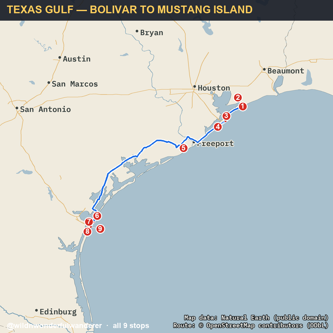
The full route from the reel · Bolivar Peninsula → Port Aransas · every stop + my pins 🗺️

TEXAS GULF — BOLIVAR TO MUSTANG ISLAND route map
The Texas coast run, north to south — you can drive onto most of these beaches and just stop. Tap any pin to open it in Google Maps. The ⭐ tags are spots you can overnight for $0. 🚐

Bolivar Peninsula

Gilchrist Beach free stay 🚐 RV parking
Drive-on beach camping at the top of the peninsula — park on the sand and stay.
📍 Open in Maps
JayLa's Bar & Grill
The roadside stop on the peninsula — close enough to walk back to the sand.
📍 Open in Maps

Port Bolivar → Galveston

Galveston–Bolivar Ferry 🚐 RV parking
Free state-run ferry across the ship channel — and yes, you can ride it in your RV.
📍 Open in Maps

Galveston Island

Galveston Island Historic Pleasure Pier
The pier out over the Gulf on Seawall Blvd — the island's landmark.
📍 Open in Maps

Brazoria County

San Bernard National Wildlife Refuge
Coastal marsh and birding on the quiet stretch between Galveston and the Coastal Bend.
📍 Open in Maps

Port Aransas

Port Aransas Beach (permit) 🚐 RV parking
Beach camping on a $10 annual permit — cheapest sleep on the Texas coast.
📍 Open in Maps
Leonabelle Turnbull Birding Center
Boardwalk out over the marsh — the birding stop in Port A, free to walk.
📍 Open in Maps

Mustang Island

Mustang Island Beach free stay 🚐 RV parking
Open-beach camping south of Port A — drive on, pick your spot, nobody moves you along.
📍 Open in Maps
Newport Pass Beach Access 🚐 RV parking
Drive-on access down toward the North Padre end — the last one before you turn inland.
📍 Open in Maps

📋 All 9 stops

Quick list — tap any to open in Google Maps.

  1. Gilchrist Beach ⭐ free 🚐 RV — Maps ↗
  2. JayLa's Bar & Grill — Maps ↗
  3. Galveston–Bolivar Ferry 🚐 RV — Maps ↗
  4. Galveston Island Historic Pleasure Pier — Maps ↗
  5. San Bernard National Wildlife Refuge — Maps ↗
  6. Port Aransas Beach (permit) 🚐 RV — Maps ↗
  7. Leonabelle Turnbull Birding Center — Maps ↗
  8. Mustang Island Beach ⭐ free 🚐 RV — Maps ↗
  9. Newport Pass Beach Access 🚐 RV — Maps ↗

Short on time? Drive just 3 stops

Aransas Refuge → Brazos Bend → Space Center · 177 miles · about 4 hr 52 min. Route map, verified facts, a save button and gear.

Open the 3-stop route

Take this route with you

Want this route on paper? Print it and keep it in the rig.
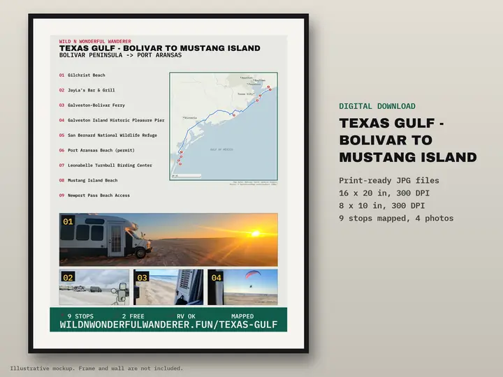
Printable route poster: Texas Gulf — Bolivar to Mustang Island, 9 stops mapped
Illustrative mockup. Frame and wall are not included.

Texas Gulf — Bolivar to Mustang Island

9 stops numbered on one map poster. Digital download: print-ready JPGs at 16×20 and 8×10 in, 300 DPI. Nothing is shipped.

Printable route map — $12

The gear that got us there 🚐

Everything we packed for the road — solar, fridge, the free-camping memberships.

See the gear & resources → 🍷 How we sleep free — Harvest Hosts (20% off)

The rig that got me here 🔧

Every part on the E-450 build, cataloged — see exactly what's under it.

The full E-450 parts list → Browse the gear list →