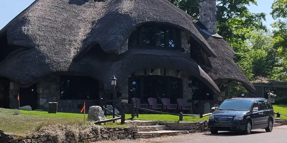
A stone mushroom house with a thatched-look roof in Charlevoix

U.S. 31 · 3 stops · 55 mi

Charlevoix to the Mackinac Bridge: U.S. 31 Road Trip Stops

3 stops · 55 miles · about 1 hr 27 min of driving

Open this route in Google Maps3 stops in order · 55 mi · free, no sign-up

Road essentials

Quick grabs for the drive. Open the listing, or add it straight to your Amazon cart.

Amazon (paid link): we earn a small commission if you buy, at no extra cost to you. Disclosure.

Gear for this drive

Amazon links are paid affiliate links: as an Amazon Associate we earn from qualifying purchases at no extra cost to you. Disclosure.
Take the map with you

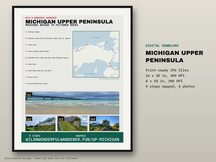
Printable route poster: Michigan Upper Peninsula — Mackinac Bridge to Pictured Rocks
Route poster: Michigan Upper Peninsula — Mackinac Bridge to Pictured RocksDigital download, 9 stops on one map. Nothing is shipped. Get the poster — $12

Next route

Optional. Free, no spam. Privacy

Route map: Earl Young Houses to Icebreaker Mackinaw to Mackinac Bridge, 55 miles

Road distance and drive time are a routing estimate (OSRM) with no traffic and no stops.

Save this route

The three stops from our co-pilot reel, in the order you would drive them through northern Michigan. Facts and visitor notes come from official sources (linked under each stop). The photos are ours. Mileage and drive time are a routing estimate without traffic or stops. Check current road and hours before you go.
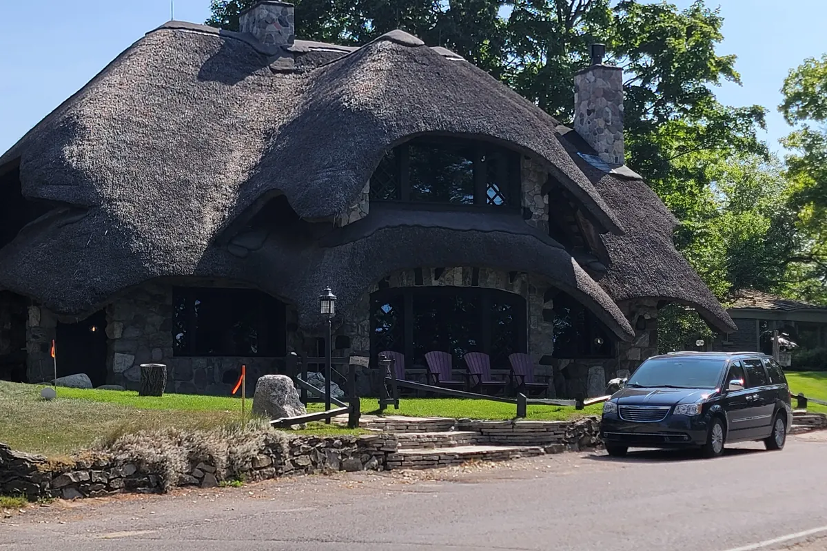
  1. Earl Young Mushroom Houses

    A stone mushroom house with a thatched-look roof in Charlevoix

    Our photo.

    Verified facts

    • Each of Earl Young's houses is individually different and was designed to blend in with its surrounding landscape. Source: visitcharlevoix.com ↗
    • Over the course of his fifty-year career, Earl Young built twenty-six residential houses and four commercial properties. Source: visitcharlevoix.com ↗
    • 11 homes are included in Charlevoix's Earl Young Local Historic District, along with landscaping features that are original to the site. Source: charlevoixmi.gov ↗
    Open in Maps
  2. 52 mi · 1 hr 20 min from stop 1

    Icebreaker Mackinaw Maritime Museum

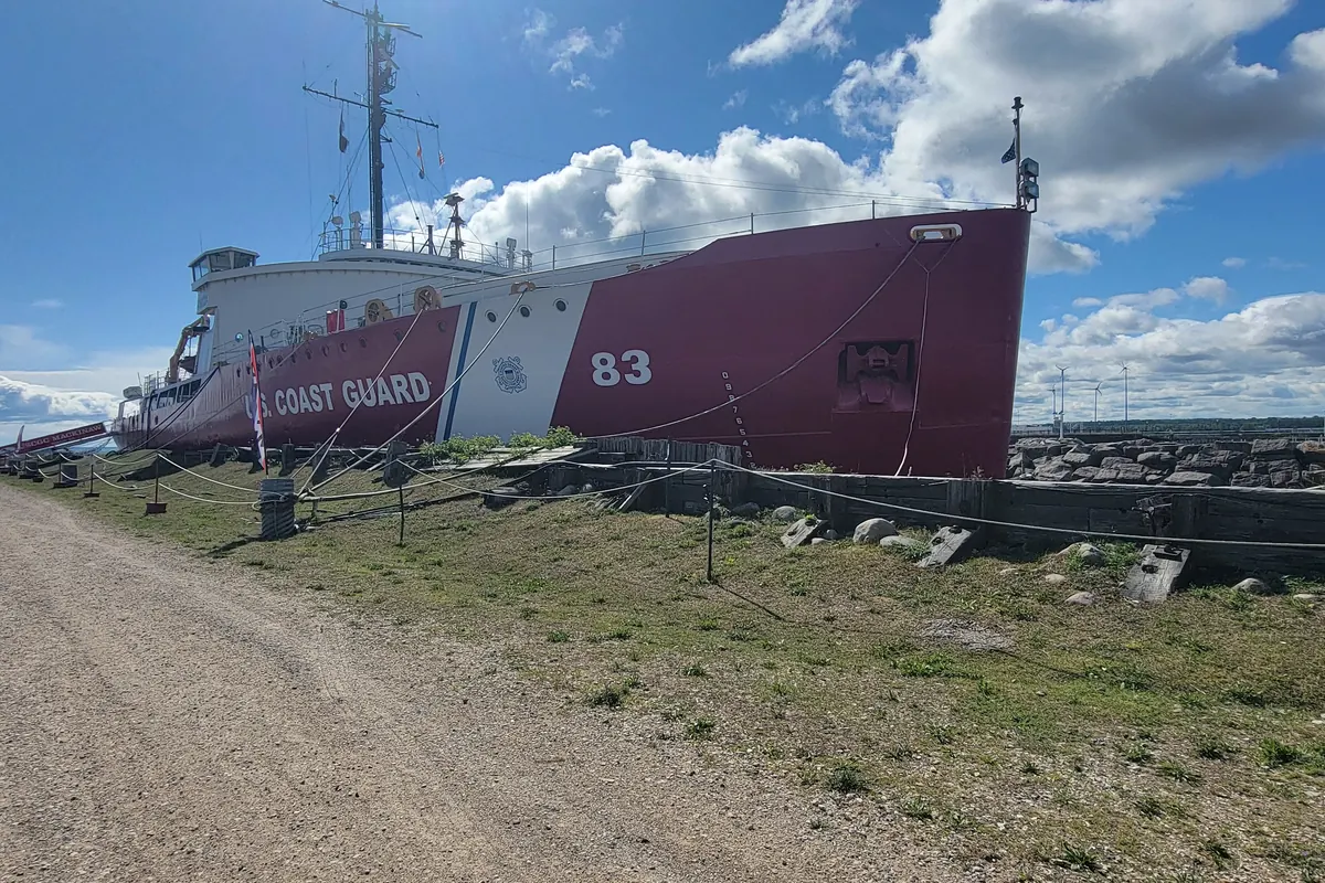
    The red-hulled icebreaker Mackinaw moored at the dock in Mackinaw City

    Our photo.

    Verified facts

    Open in Maps
  3. 3 mi · 6 min from stop 2

    Mackinac Bridge

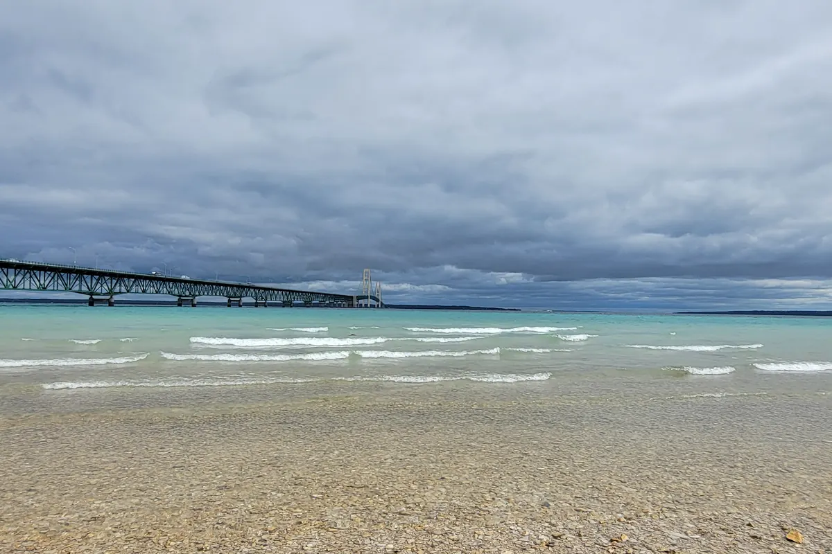
    The Mackinac Bridge stretching across the Straits seen from a pebble beach

    Our photo.

    Verified facts

    Visitor notes (official sources)

    Open in Maps

Free RV Build + Gear Guide

The real numbers from our Ford E-450 build: solar, battery bank, cost sheet and every part, linked. Enter your email and it opens right away.

Free. No spam. Privacy

See the full build sheet

The full route

This is 3 stops from a longer drive. Every stop, the free overnight spots and a printable map are on the full guide.

Mackinac Island and the Michigan Dunes: the full guide

Building your own rig?

The real numbers from our Ford E-450 build.

Free RV Build + Gear Guide The RV Kit — $27 · 11 printable pages