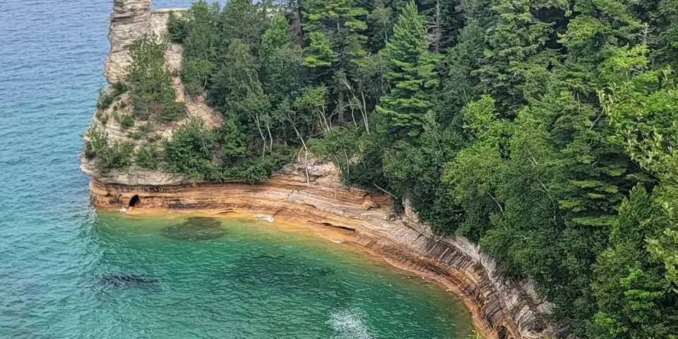
County Road H-58 · 2 stops · 38 mi
2 stops · 38 miles · about 1 hr 26 min of driving
Quick grabs for the drive. Open the listing, or add it straight to your Amazon cart.
Disposable hand/toe warmers for cold mornings and overlooks.
4 ports (2 USB-C, 2 USB-A) for phones running Maps.
Paper maps for dead-signal stretches; 2027 edition.
Amazon (paid link): we earn a small commission if you buy, at no extra cost to you. Disclosure.
Amazon links are paid affiliate links: as an Amazon Associate we earn from qualifying purchases at no extra cost to you. Disclosure.
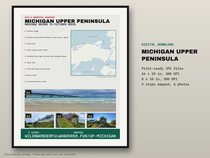

Road distance and drive time are a routing estimate (OSRM) with no traffic and no stops.
The two stops from our co-pilot reel, in the order you would drive them through Pictured Rocks National Lakeshore. Facts and visitor notes come from official sources (linked under each stop). The photos are ours. Mileage and drive time are a routing estimate without traffic or stops. Park roads close to vehicles in winter, so read the note below before you go.
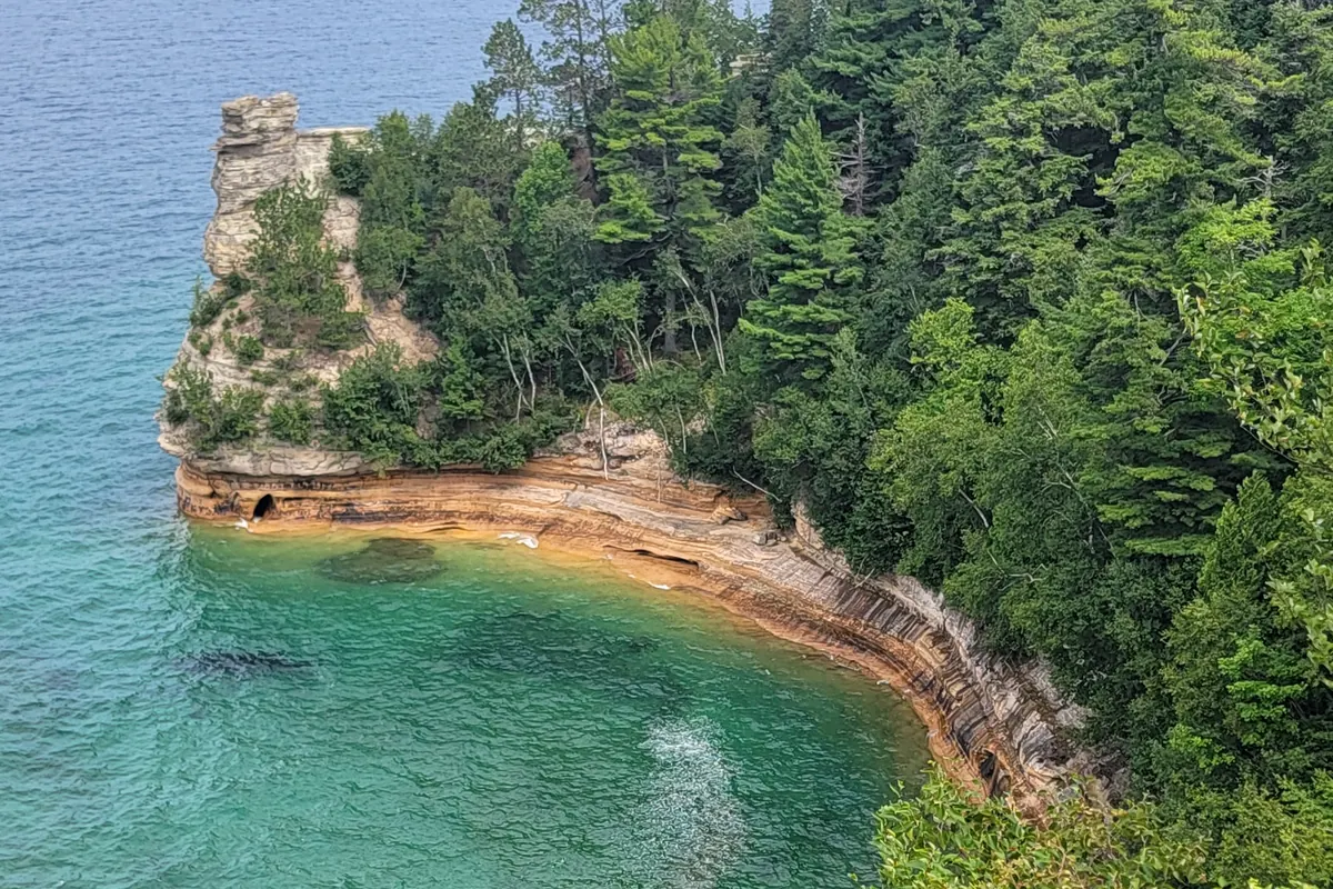
Our photo.
38 mi · 1 hr 26 min from stop 1
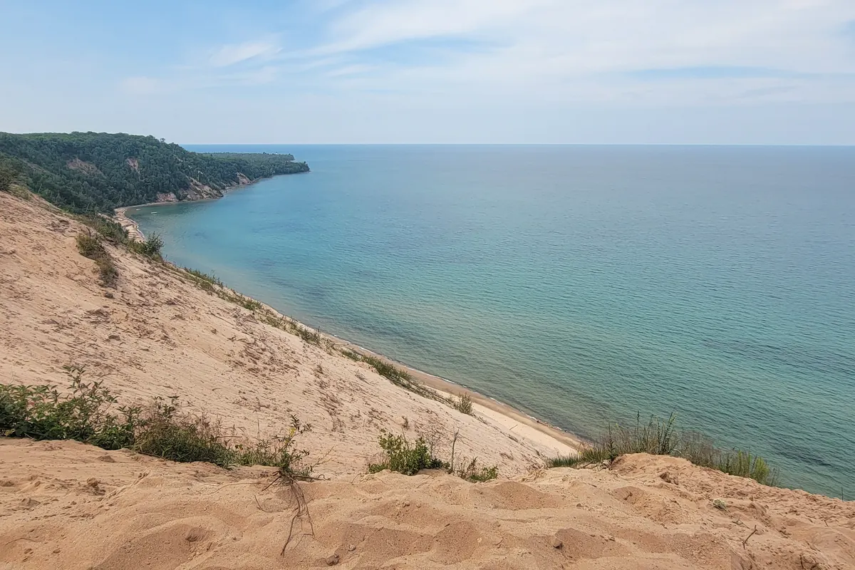
Our photo.
The real numbers from our Ford E-450 build: solar, battery bank, cost sheet and every part, linked. Enter your email and it opens right away.
See the full build sheetThis is 2 stops from a longer drive. Every stop, the free overnight spots and a printable map are on the full guide.
Pictured Rocks: the full guideThe real numbers from our Ford E-450 build.
Free RV Build + Gear Guide The RV Kit — $27 · 11 printable pages