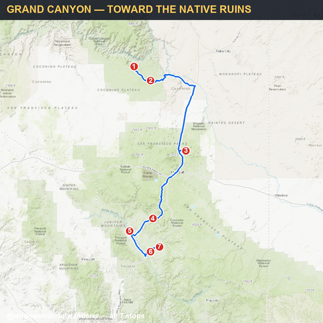
From the reel · South Rim down through the Verde Valley ruins · every stop + my pins 🗺️
Quick list — tap any to open in Google Maps.
Grand Canyon → Montezuma Castle → Tuzigoot · 161 miles · about 3 hr 24 min. Route map, verified facts, a save button and gear.
Open the 3-stop routeWant this route on paper? Print it and keep it in the rig.
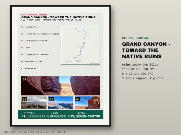
7 stops numbered on one map poster. Digital download: print-ready JPGs at 16×20 and 8×10 in, 300 DPI. Nothing is shipped.
Printable route map — $12The real numbers from our Ford E-450 build.
Free RV Build + Gear Guide — sign up → The RV Kit — $27 · 11 printable pages →Everything we packed for the road — solar, fridge, the free-camping memberships.
See the gear & resources → 🍷 How we sleep free — Harvest Hosts (20% off)Every part on the E-450 build, cataloged — see exactly what's under it.
The full E-450 parts list → Browse the gear list →